Íomhá:Sverigekarta-Landskap.svg

Size of this PNG preview of this SVG file: 263 × 599 picteilín. Other resolutions: 105 × 240 picteilín | 211 × 480 picteilín | 337 × 768 picteilín | 450 × 1,024 picteilín | 900 × 2,048 picteilín | 290 × 660 picteilín.
Taispeáin leagan ardtaifigh den íomhá (Comhad SVG, ainmniúil 290 × 660 picteilíni, méid comhaid: 72 KB)
| Seo comhad as An Cómhaoin Viciméid. Tá an tuairisc as an leathanach tuairisc Cómhaoin a leanas thíos.
|
| Tuairisc |
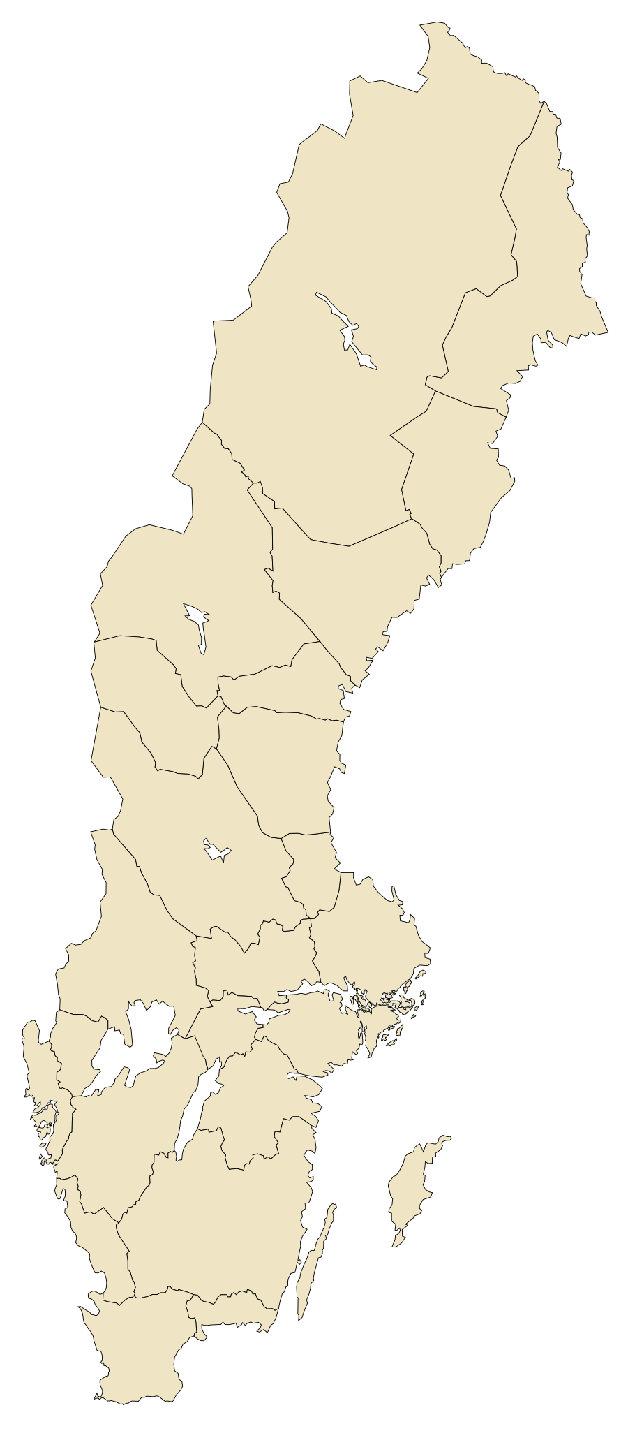
English: The historical provinces of Sweden
Svenska: Sveriges landskap |
| Dáta | |
| Foinse | Based on SWE-Map Kommuner2007.svg by Lokal_Profil |
| Údar | Lapplänning |
| Ceadúnas (Athúsáid a bhaint as an gcomhad seo) |
This file is licensed under the Creative Commons Attribution-Share Alike 2.5 Generic license.
|
| Leaganacha eile |
|

| Annotations | This image is annotated: View the annotations at Commons |
Stair chomhaid
Cliceáil ar dáta/am chun an comhad a radharc mar a bhí sé ag an am sin.
| Dáta/Am | Mionsamhail | Toisí | Úsáideoir | Nóta tráchta | |
|---|---|---|---|---|---|
| faoi láthair | 00:57, 15 Meitheamh 2009 | | 290 × 660 (72 KB) | Lokal Profil | Some code trimming, also changed path id from default to province name (without åäö though) |
| 14:53, 8 Feabhra 2009 |  | 290 × 660 (77 KB) | Lapplänning | removing hidden layer | |
| 14:50, 8 Feabhra 2009 |  | 290 × 660 (80 KB) | Lapplänning | {{Information |Description={{en|1=The historical provinces of Sweden}} {{sv|1=Sveriges landskap}} |Source=Based on file:SWE-Map Kommuner2007.svg by User:Lokal_Profil |Author=Lapplänning |Date=uppladdad 8 februari 2009 |Pe |
Úsáid comhaid
Ní úsáideann leathanach ar bith an comhad seo.
Global file usage
Úsáidtear an comhad seo ar na vicithe seo a leanas:
- Úsáid ar sv.wiki.x.io